- Professional land surveying services in Humboldt, Mendocino, Del Norte, and Trinity counties.
- We offer a wide variety of land surveying services with an emphasis on quality, accuracy and customer service.
- Utilizing the latest technology, equipment and processes, we are committed to completing your project as efficiently and cost effectively as possible.
- Whether you need your property lines surveyed for a fence, a plot plan for development, or a topographic survey for an engineer or architect design, no job is to big or to small.
- Pinpoint Land Surveying has the experience and expertise to deliver on all your land surveying needs.
Tell us about your project
Pinpoint Land Surveying Services
Property Boundary Surveys
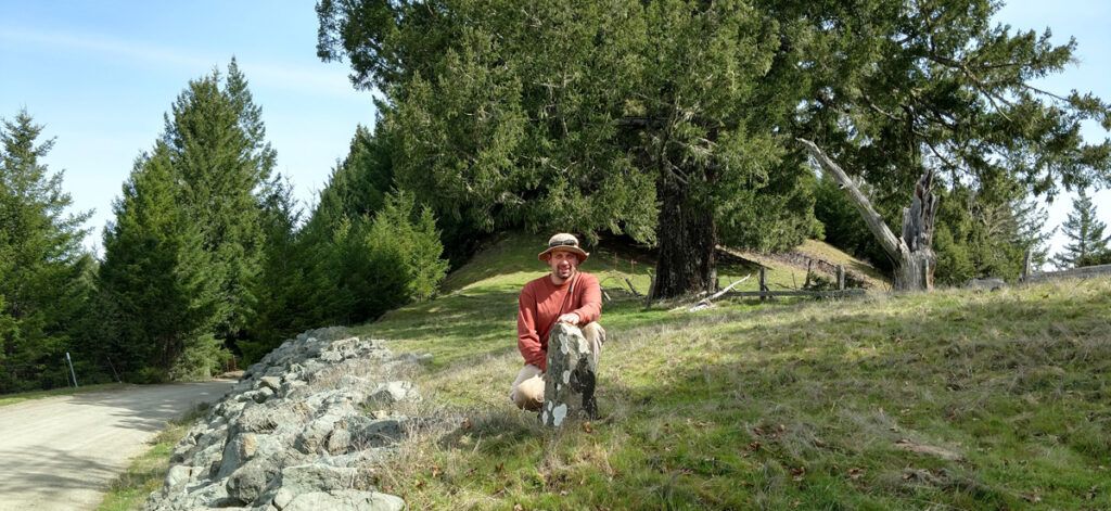
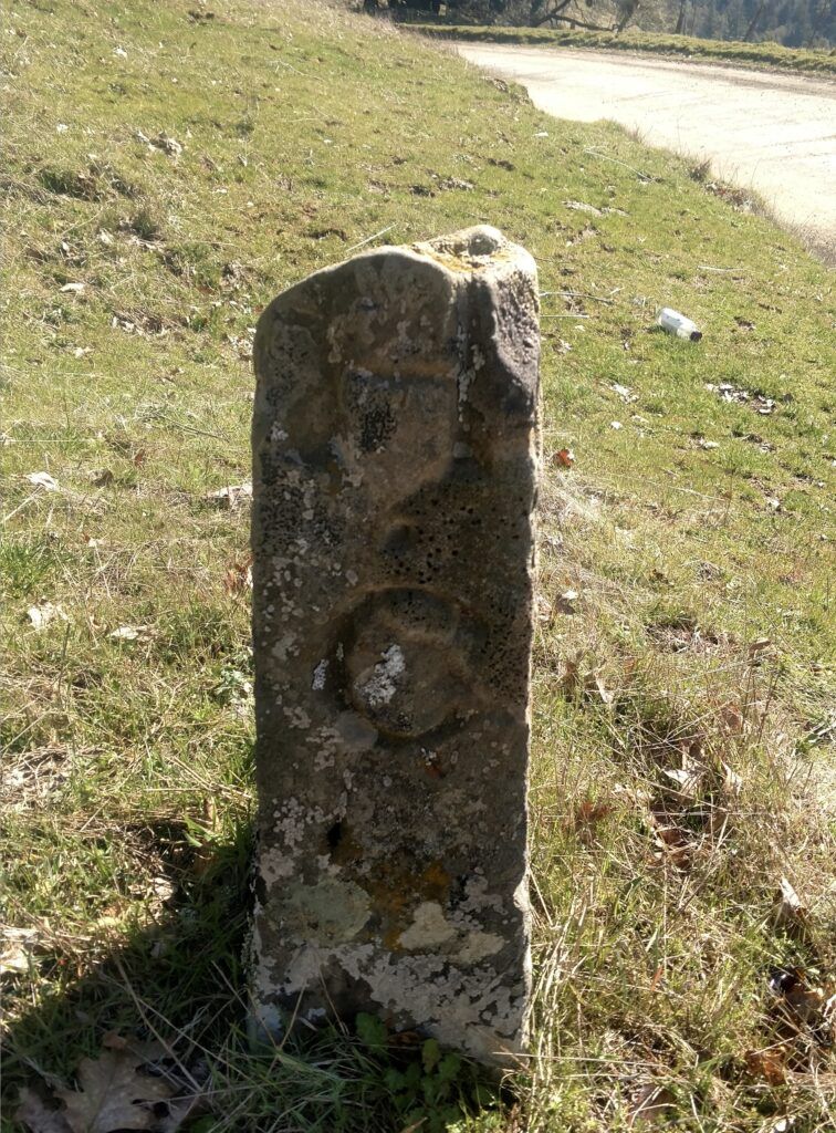
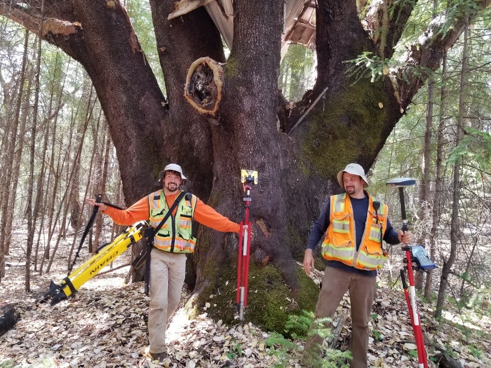
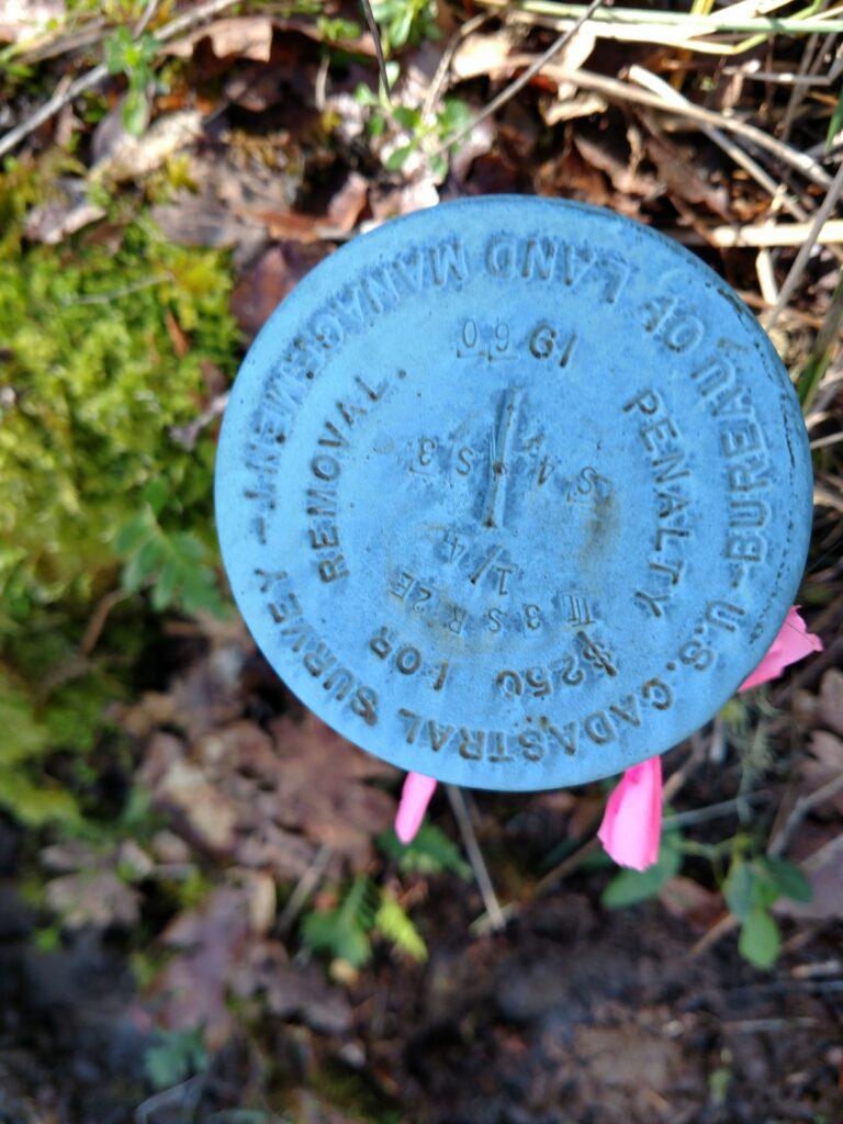
This service involves researching land title records and placing the boundaries of real property on the ground. This includes the marking of property lines, easements and boundary setbacks. When we perform a boundary survey we will locate and mark existing property corner monuments and mark the line between corners. If no existing corner monuments exist, we will place iron pipe monuments at the corners of the property and file a Record of Survey or Corner Record with the county surveyors office.
Construction layout
This service includes aiding building professionals by calculating complicated plan sets and laying the plans out throughout the project site. This includes staking elevations, cuts, fills and offsets to place improvements in their intended position, elevation and alignment.
Lot Line Adjustments
Lot line adjustments involve the reconfiguring of property boundaries on two or more adjacent parcels of land, when no new parcels are being created or deleted. Lot line adjustments are often used to correct encroachments or align a parcels boundary with natural or man made features such as a fence, road or stream. This process includes the submittal of a lot line adjustment application and plot plan to the county or city in which the parcels reside. Upon approval, setting the new property corner monuments and filing a Record of Survey and recording new deeds for the newly adjusted properties.
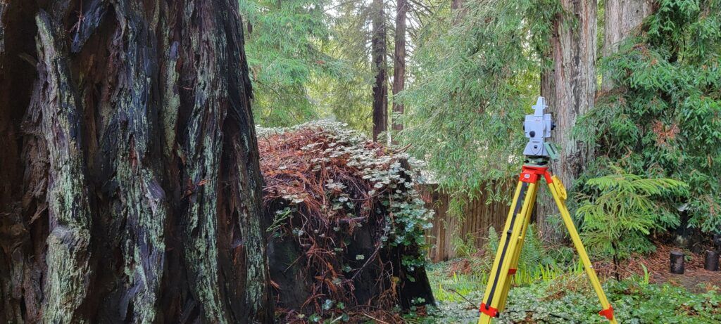
Topographic Surveys
This service includes the detailed measurement of the ground surface and features that are present on the project site, such as buildings, utilities, roads and natural features. This is done to create an accurate three dimensional terrain model of the project site for use by engineers, architects and land planners to design and properly place improvements to develop a site.
Plot plans
Plot plans are required by cities and municipalities for most development and building permits.
Plot plans are a map of the subject property showing the existing and proposed improvements and their location in relation to property boundary lines.
Subdivisions
There are two categories of subdivisions; Major Subdivisions and Minor Subdivisions
There are differences in the approval process for these two different categories, which the local municipality has discretionary control over. Minor subdivisions are typically much less expensive and time consuming than major subdivisions and require less infrastructure development and regulatory review.
At Pinpoint, we will take the lead role in the subdivision process and ensure that your project moves through the approval process as quickly and cost affectively as possible.
Minor Subdivisions are divisions of one or more existing parcels of land into four or fewer new parcels.
Major Subdivisions are divisions of one or more existing parcels of land into five or more new parcels

Elevation certificates and FEMA letter of map amendment
Elevation certificates are used to identify the elevations that new buildings and substantial improvements will be placed that are located within special flood hazard areas (SFHAs) so that flood hazards are reduced or eliminated. The elevation certificate may be required for obtaining flood insurance, by property owners whose property is within or partially within a known flood hazard area.
Letters of map amendment are used to correct the flood hazard map to reflect the actual elevation of the area being corrected and potentially removing that area from the flood hazard designation previously established.
Legal Description writing
If you are in need of an easement, or property description to be drafted Pinpoint Land surveying can write the legal description, locate and stake it on the ground and work with the title company to get the document recorded and added to the parcel’s title record.
ALTA NSPS Land Title Surveys
An ALTA NSPS Land Title Survey (commonly called an ALTA survey) is a highly detailed land survey prepared to meet the standards set by the American Land Title Association (ALTA) and the National Society of Professional Surveyors (NSPS). This survey is often required for commercial real estate transactions and other situations where detailed information about the property is necessary. If your project requires an ALTA survey Pinpoint Land Surveying is qualified and has the experience to perform the task.
Geotracker environmental surveys
Geotracker is the California Water Boards data management system that is tasked with monitoring contaminated sites or sites with potential for contamination of ground water, such as gas stations, chemical plants and disposal sites.
If you are in need of a Geotracker survey, Pinpoint can assist your environmental consultants in location and elevation monitoring.
Land planning
Navigating the many layers of regulations in California is no easy task. When you make Pinpoint Land Surveying part of your team, we will assist you in navigating through regulations and streamline your land projects to a successful conclusion.
Pinpoint land surveying can assist in Zoning Reclassifications, and Conditional Use permits as well as other planning permits and applications.
Hydrographic surveys
Hydrographic surveys map topography under water. These surveys are conducted with the use of bathometry (boat mounted sounding equipment) in conjunction with survey grade GPS equipment. Pinpoint offers hydrographic mapping for companies or municipalities that are performing port improvements or developing underwater infrastructure, that need highly accurate aquatic terrain data.
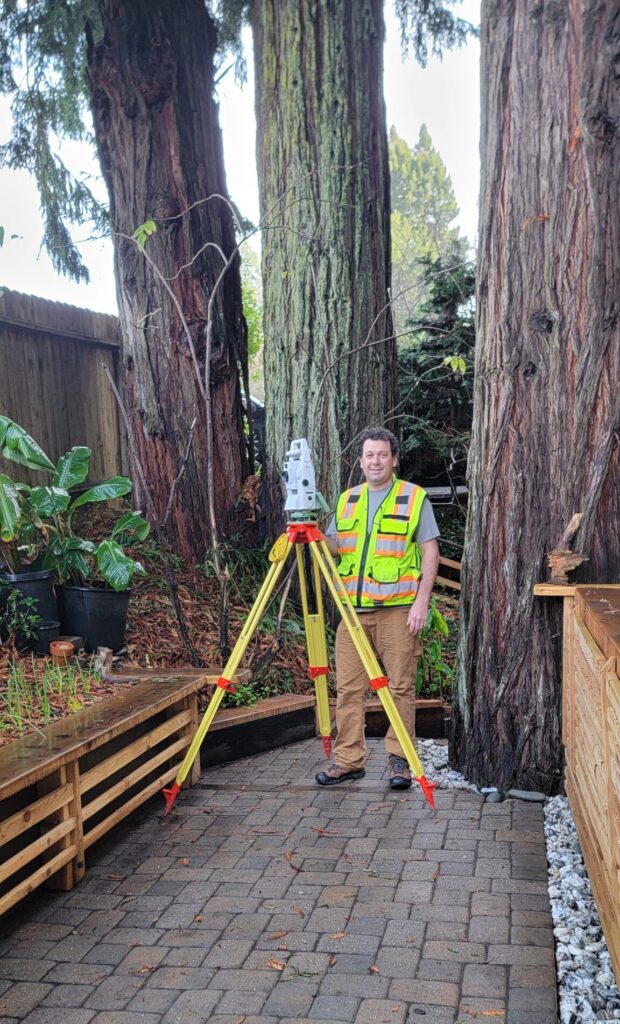
Pinpoint Land Surveying offers professional Land surveying services to clients in Humboldt, Del Norte, Trinity and Mendocino counties, with an emphasis on serving our clients needs promptly, accurately and on budget. The owner of the company Loren Blodgett, was born and raised in Humboldt and Mendocino Counties and has unique knowledge about some of the area’s most remote locations. Weather your project is big or small we are eager to take it on. Please call for an estimate or to talk about your surveying needs. (707) 388-0097
- Contact Us
- Phone: (707) 388-0097
- Loren@pinpointlandsurveying.com
- CA License # LS9893
- Licensed by the California Board for Professional Engineers, Land Surveyors, and Geologists